GDMS SOFTWARE
Tailings management software for mining excellence
GDMS is a 3D, integrated cloud-based technology for safe tailings storage facility (TSF) management. Facilitating GISTM compliance, managing TSF risk and optimisation of water as a resource, our immersive software is behind the safe operation of tailings storage facilities globally.
APPLICATIONS
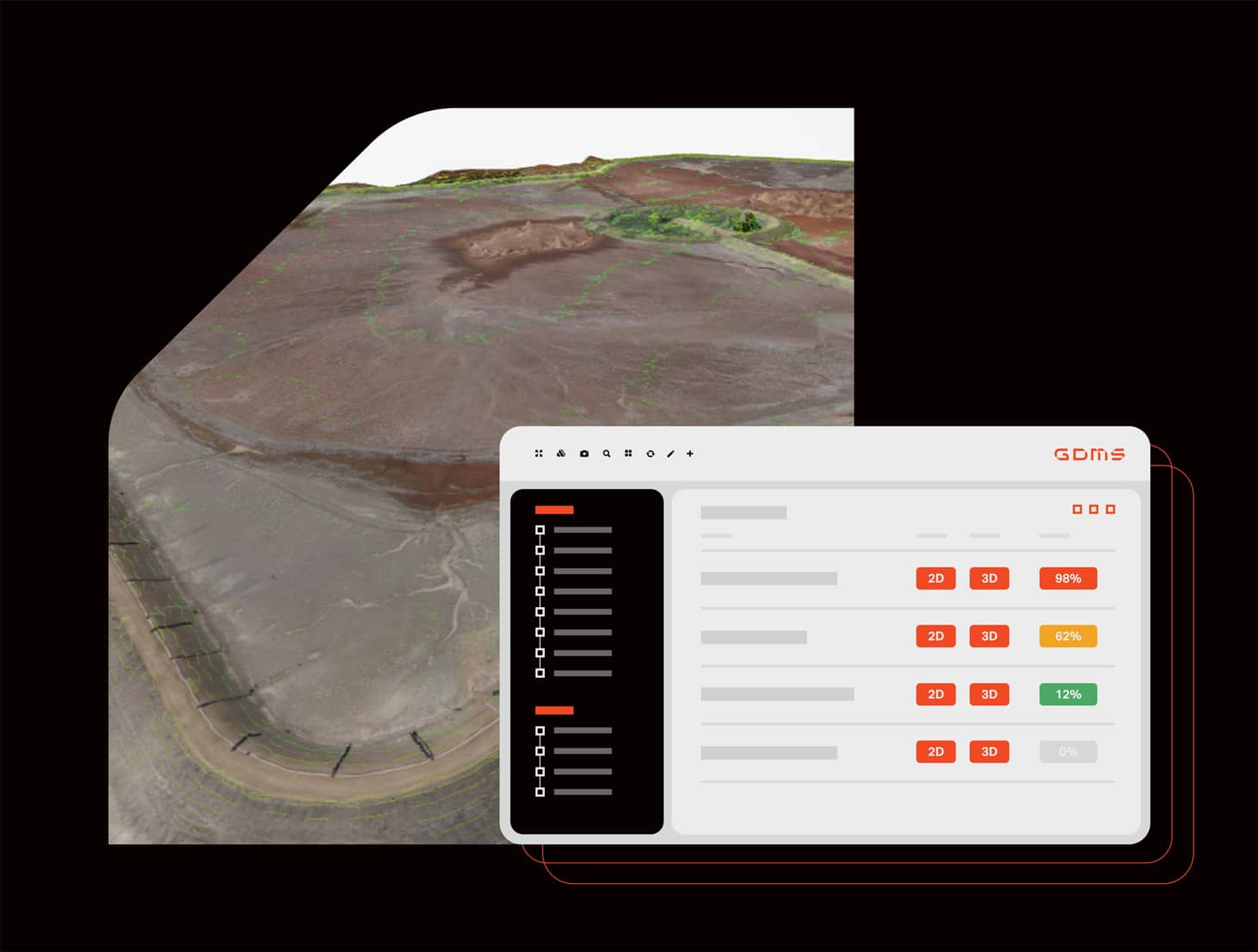
Data Management and Visualisation
Create and visualise tailings storage facility data in real-time. Bring together the big picture with 3D visualisation and real time data inputs, allowing for continuous review and accounting for fluctuations throughout the dam lifecycle. Estimate tailings capacity with real time data and export relevant data and interpretation into various, compatible software formats.
Model & Create
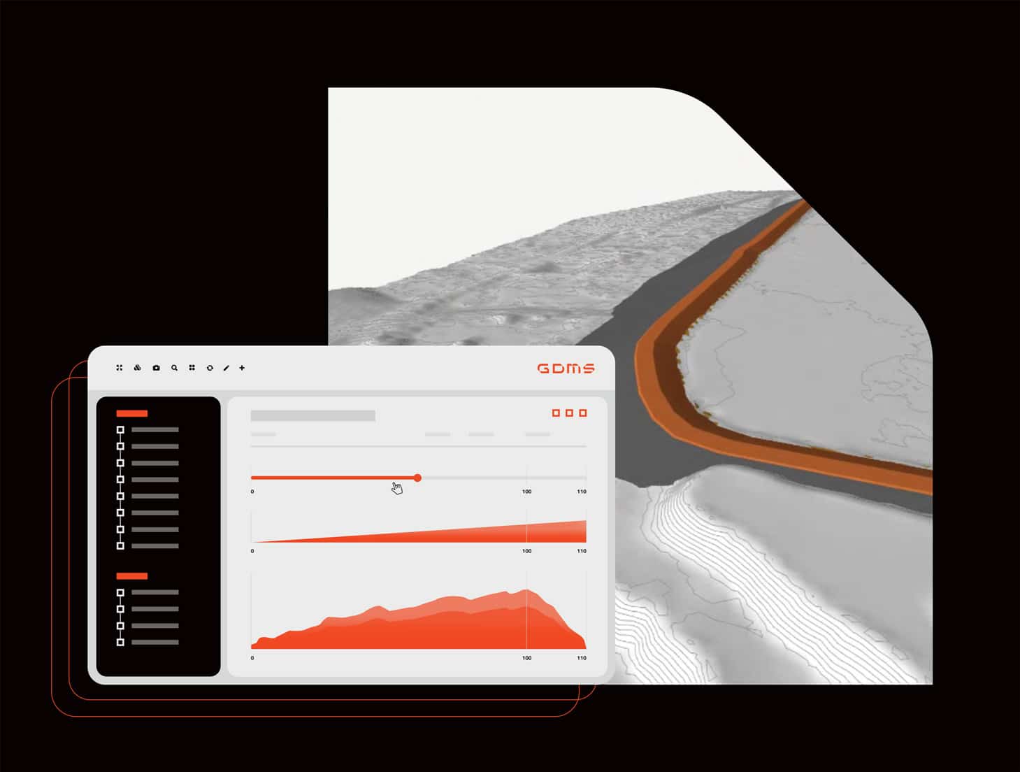
Model any type of TSF configuration in a continuous manner, utilising live data captured by autonomous loggers.
This continuous data stream can be utilised for TSF modelling for use in downstream applications and processes, while intuitive user controls enable the creation and assessment of models to ensure project continuity, quality, and safety compliance.
Integrate live streamed data into the TSF modelling process, including tailings deposition rate, ground water levels, civil design parameters and surface water.
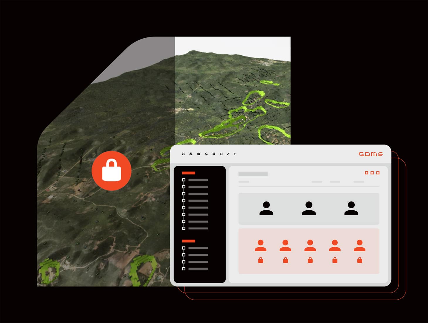
Multi-User Access and Levels
Control workflow and enhance cooperation across teams with customisable access and editing permissions that ensure relevant stakeholders can visualise, report and update models and results as appropriate. The software facilitates ongoing, remote review and technical signoff, empowering the EOR with live, interactive data from your site.
We support cooperation across disparate teams and stakeholders in water management activities to reduce environmental impact.
Centralised Repository
Release dependency on disparate, costly telemetry and data management licences. The centralised GDMS dynamic geoscience data management system streamlines site-wide data interactions, while live data streaming takes TSF management to new levels.
Select multiple attributes from unique data sets, isolate elements in 3D and overlay your model with additional metrics to support explanations and identify risks.
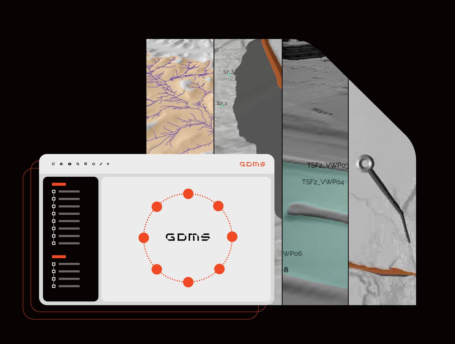
Design Interrogation and Verification
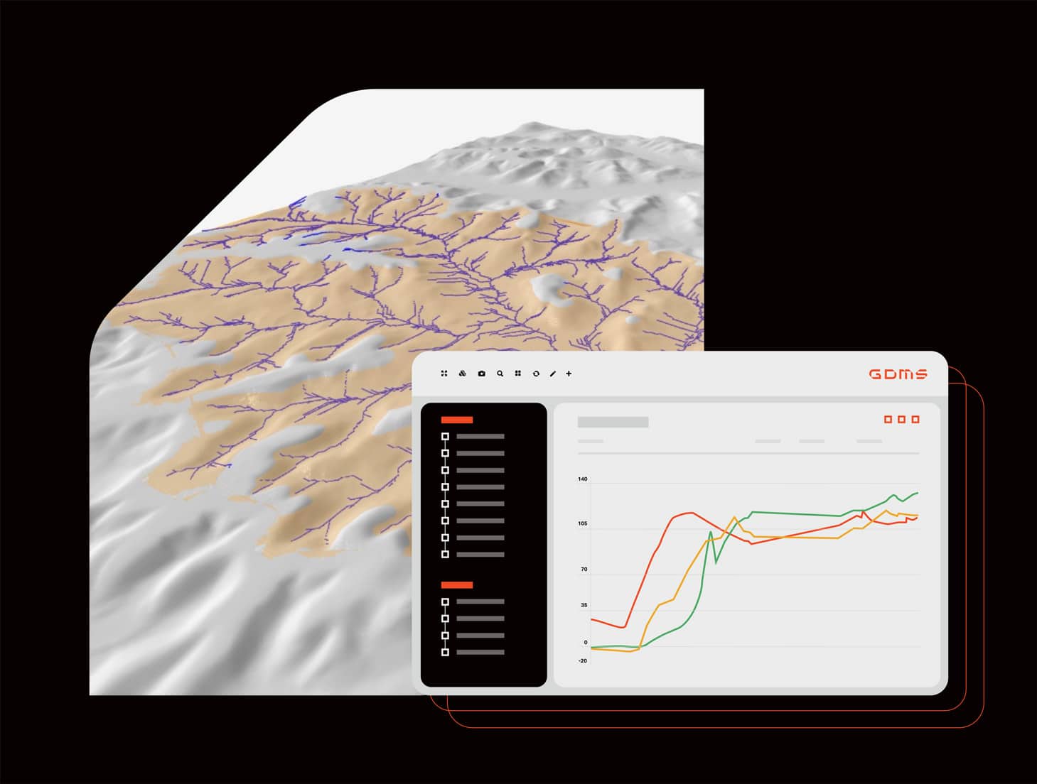
Interact with your data in a 2D or 3D space and verify your data in real time. Our software provides top-down storm water storage and capacity analysis, offering geometric design optimisation. Utilise the software to perform surface and ground water impact analysis and assessments.
Bug Tracking and Maintenance
Experience complete assurance of reliability and security in the knowledge that you will have uninterrupted access to your data. Hosted at our Australian premium secure server storage facility, your data is secure and backed up on a daily basis.
Reporting and Analysis
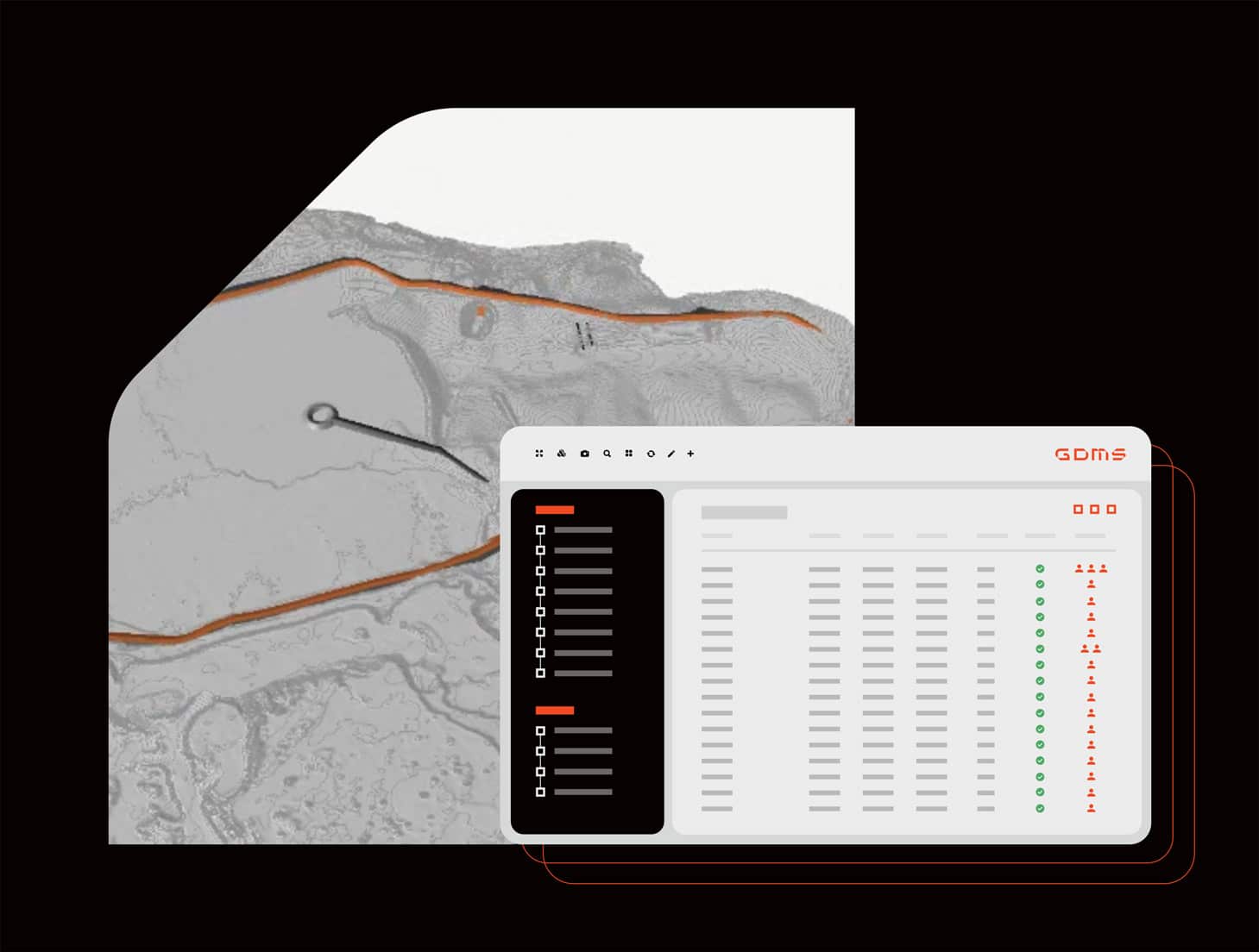
Our platform features built in reporting capabilities to enable stakeholder communication across all levels of your operation and supporting compliance with regulatory standards. The centralised nature of the platform facilitates multi-user interaction, eliminating lost data and miscommunication.